Gusnet Water Network Modeller#
Gusnet
Water Network Modeller
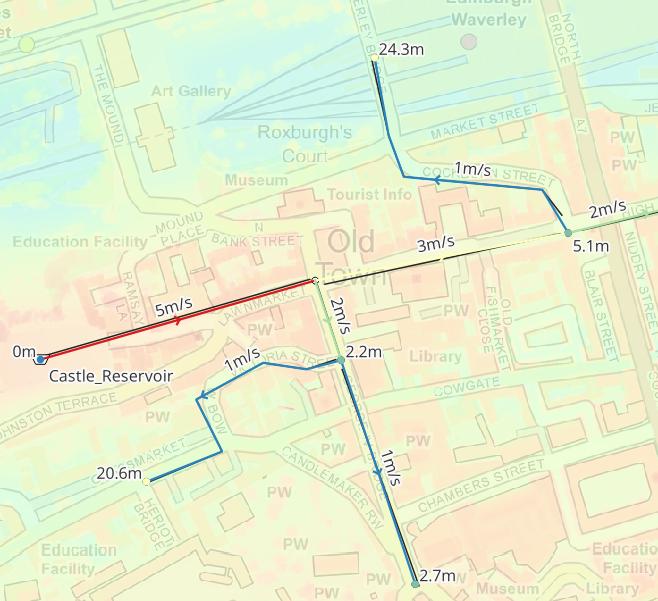
Gusnet is a QGIS plugin for designing, editing, simulating, and visualizing water distribution networks using EPANET’s trusted modeling engine.
Create accurate hydraulic models in real-world locations using geographic data.
Key Features#
Fully Integrated with QGIS
Build models that exist in real places, combining with other GIS data sources.
EPANET Modelling
Uses WNTR and EPANET for reliable, accurate results and interoperability.
Free and Open Source
No cost, no licensing problems, no limit on the number of pipes.
User Friendly
Translated, easy to learn, flexible, fully documented.